Meet our leadership: C.M. Bhatt, Asia Oceania Flood Working Group

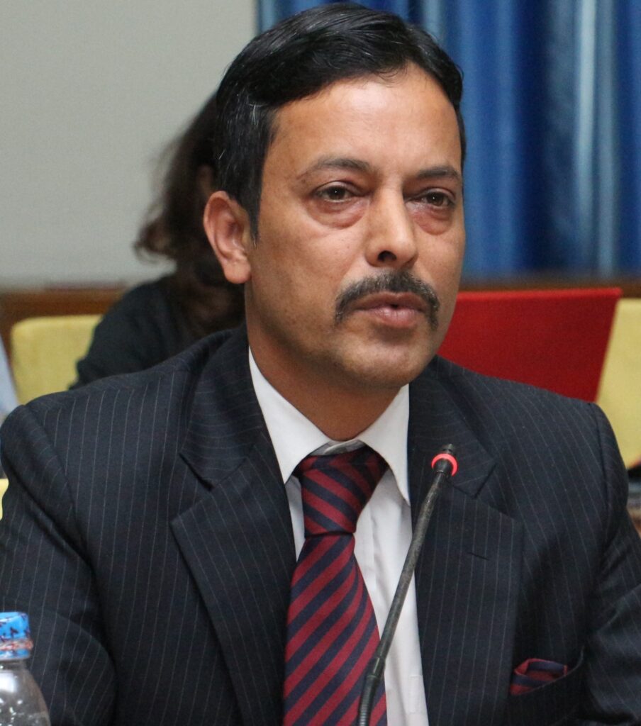
C.M. Bhatt is a scientist at the Disaster Management Science Department at the Indian Institute of Remote Sensing (IIRS), ISRO. He is also Course Director (Remote Sensing & GIS Course) for the Centre for Space Science and Technology Education in Asia and the Pacific (CSSTEAP) affiliated to the United Nations located at the campus of IIRS. He is currently involved in research and capacity building activities pertaining to natural hazards. He has been awarded the ISRO Team Excellence Award and Young Scientist ISRO-ASI awards.
Alongside your work duties, you find time to contribute to EOTEC DevNet. What motivates you for that?
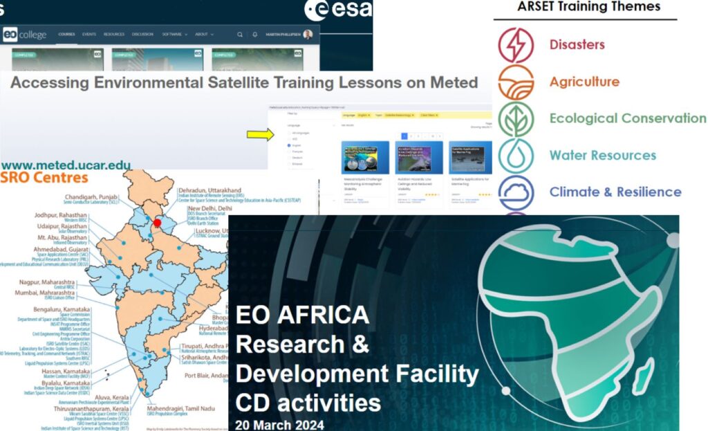
My motivation to lead the Asia-Oceania Flood Working Group comes from the fact that the EOTEC mandate resonates with my work activities at CSSTEAP, which contributes to capacity building activities in Asia Pacific through the use of Earth observation data and its application for addressing sustainable development, climate change, and disaster management. The experience of working with UN bodies like UNSPIDER and UNESCAP through CSSTEAP also helps me advance the EOTEC work. I feel such platforms are an opportunity to take capacity building activities to a higher level through the strength of the network resources and multi-institutional engagements.
Do you think collaborations and technology inputs can help in enhancing outreach and capacity building activities?
This is a very important question. With technological innovations and better computing infrastructure, capacity building has reached to a new level, especially during the pandemic and post pandemic. Online platforms, virtual classrooms, and multimedia resources have emerged as strong platforms to disseminate education to larger sections of society. The launch of Massive Open Online Course (MOOC) on “Geospatial Application for Disaster Risk Management,” jointly organized by the CSSTEAP and the United Nations Outer Office for Space Affairs (UNOOSA), launched in 2020 is one such example. The MOOC was also an excellent example of multi-institutional collaboration (16 organizations and 18 speakers). There were more than 30,000 registrations from 194 countries. It was based on the principle of self-paced, user-centric learning. The course aimed to link learners from across the globe with educators and provide user and discussion forums to support interactions among students in collaborative learning platforms. Today, post-pandemic virtual learning has become more adaptive and friendly with integration of artificial intelligence (AI), virtual reality (VR), augmented reality (AR), immersive learning, and cloud-based platforms. The IIRS and CSSTEAP have taken the lead in implementing these tools in education and outreach activities.
How did you get into remote sensing and Earth observation?
I come from an area located in the lap of the Himalayas. Since childhood, the Himalayan landscape has been a fascination to understand and visualize. I was introduced to remote sensing and its potential in mapping and monitoring natural resources way back in 2000, as part of my master’s program. Being from an Earth sciences background, I understood that this technology had much to offer and wanted to dive deeper and build my career. I also completed MTech in remote sensing and GIS subsequently.
What are your main research areas?
My research is focused around flood hazards, risks, and vulnerability. Additionally, my interests include geomorphology, remote sensing of inundation, and hydrological modeling. I am interested in research and activities that use Earth observation and geospatial technologies to enhance the potential for rapid disaster response, mitigation, and decision making. I have been working with ISRO Disaster Management Support Program and using multi-sensor and multi-temporal datasets to address various kinds of hazards. The experiences gained and challenges faced while working in these events is then translated in addressing them through research activities.
How do you think EO can best be used for disaster response and mitigation?
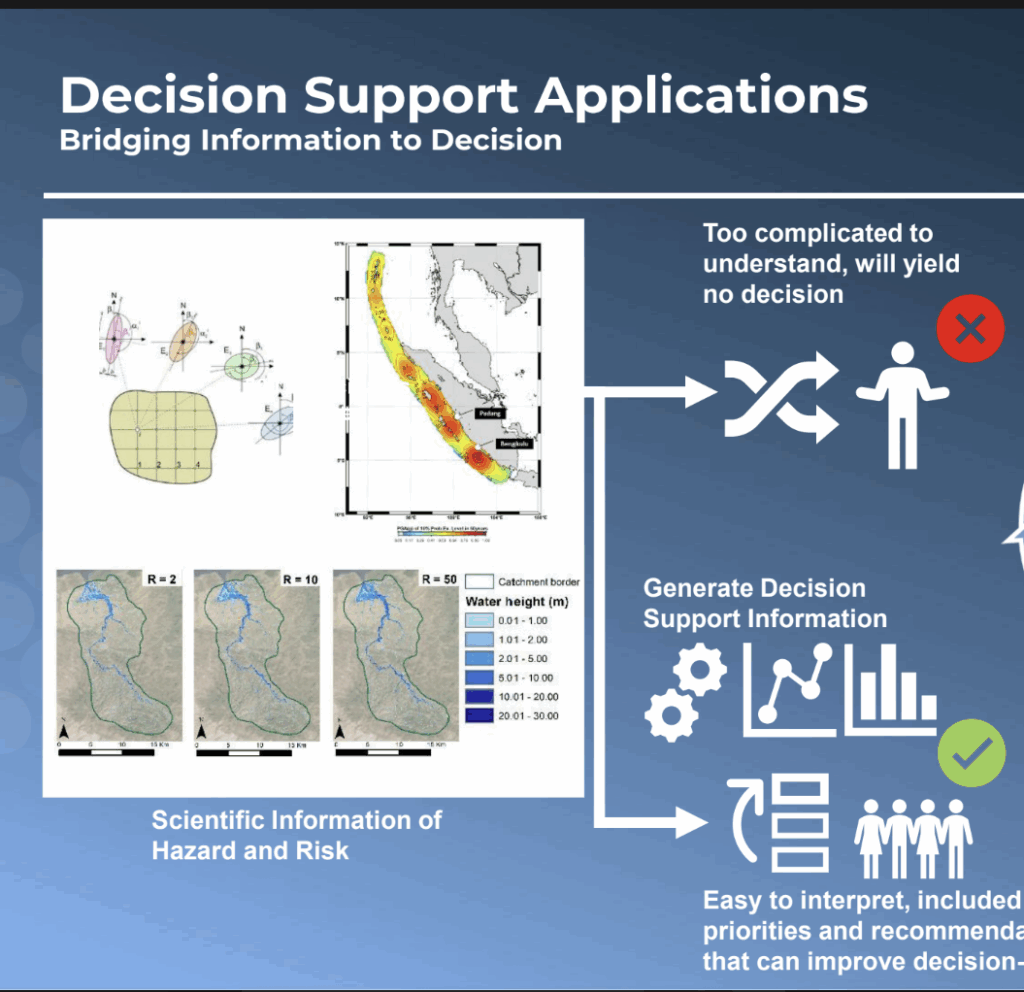
Earth Observation (EO) data and associated geospatial technologies hold an immense potential for rapid disaster response and mitigation compared to any other resources available at our disposal. Space technology gives an edge in managing natural disasters because of its ability to provide imaging of inaccessible areas (i.e., flooded regions, forest fires, and high altitude GLOFs), temporal coverage, and stereo data acquisition (digital elevation model). It is also not prone to damage unlike instruments on ground. The Chamoli flash flood of 2021 is one example where EO data was utilized to its maximum potential for understanding and responding to the event. Today, EO data available from a variety of platforms and sensors coupled with AI and cloud-based computing platforms is making decision-making faster and more accurate.


