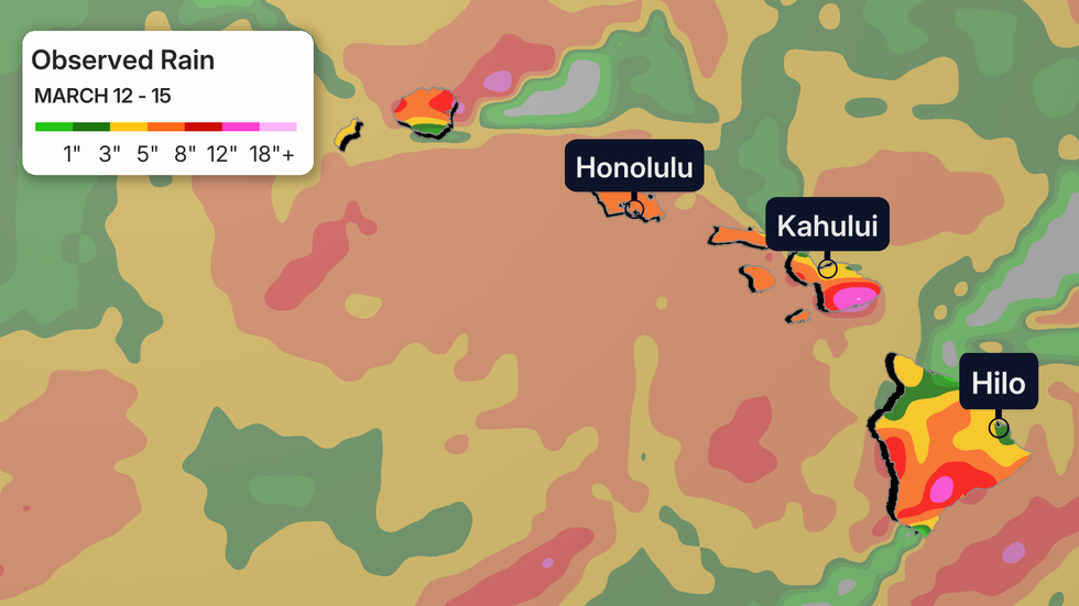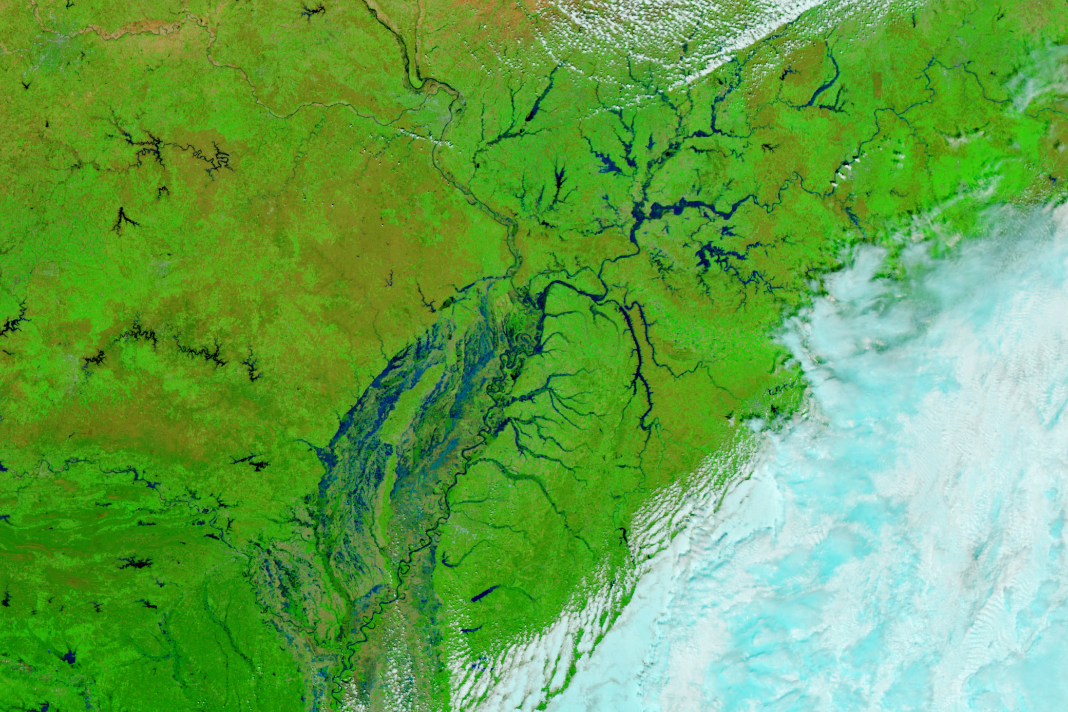
In early April 2025, a slow-moving storm system brought heavy rain and dozens of tornadoes to the U.S. Midwest and Southeast, dumping 10-15 inches of rain in some areas between April 1 and 6. This led to widespread flooding across multiple states, especially in the Ohio River watershed (Kentucky, Illinois, Indiana) and in Arkansas along the Black and White Rivers.
Satellite imagery revealed the extent of the flooding, with western Kentucky among the hardest hit. In Frankfort, the Kentucky River rose to its second-highest level on record, damaging homes, businesses, a historic distillery, and part of a water treatment plant.
Although the rain has stopped and some rivers have crested, water levels on the Mississippi River are expected to keep rising as water flows downstream. To help track and predict flooding, scientists are using data from NASA’s SWOT satellite, which measures surface water height globally. SWOT data is being integrated into NOAA’s National Water Model to improve flood forecasting.