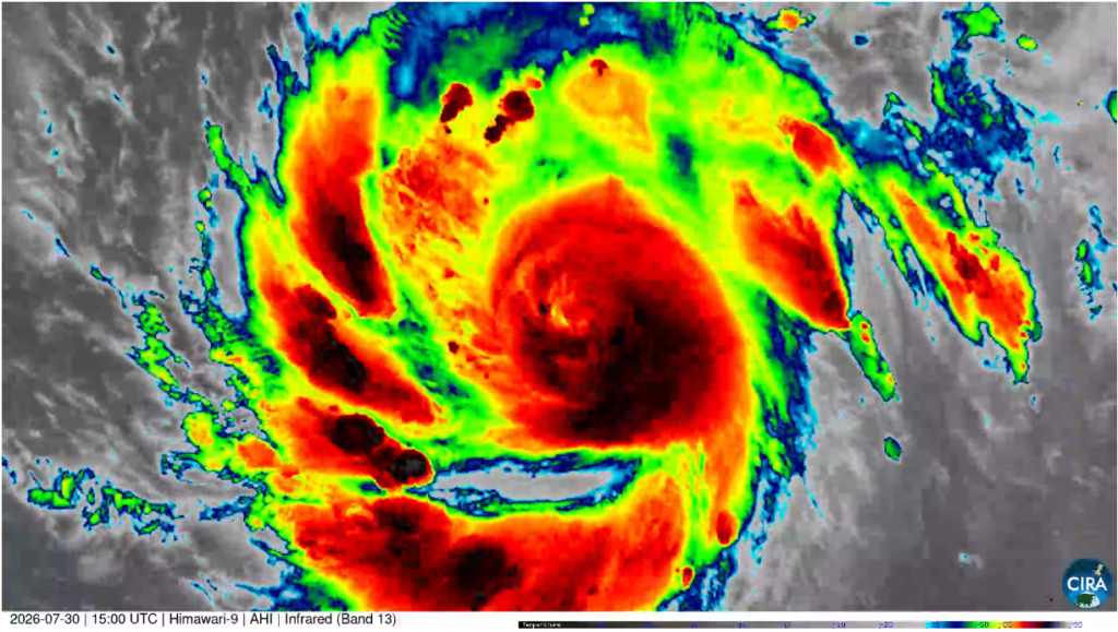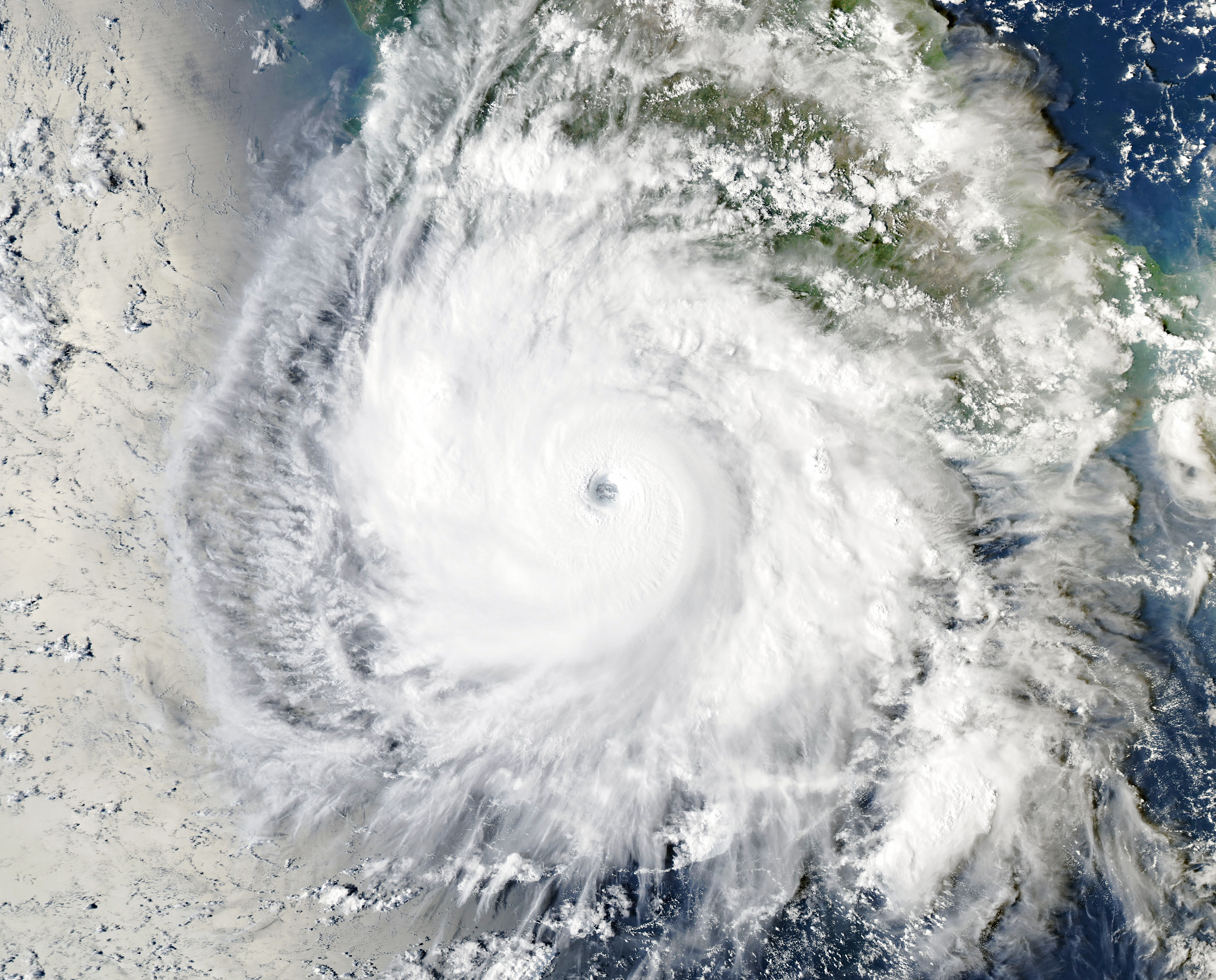
The Moderate Resolution Imaging Spectroradiometer (MODIS) on NASA’s Aqua satellite captured this image of Hurricane Polo churning off the coast of Guerrero, Mexico, southwest of Acapulco on September 23. At the time, maximum sustained winds were 230 kilometers (145 miles) per hour, making it a Category 4 strength, weaker than its maximum Category 5 strength the day prior.
In mid-September, Hurricane Polo began as a tropical disturbance off the Pacific coast of Mexico. By September 20, it was organized enough to qualify as a tropical depression, and by the next day it was a tropical storm. From there, Polo launched into a period of rapid intensification that some meteorologists described as “jaw-dropping” and “astonishing.”
Weak wind shear, high moisture, warmer ocean temperatures, and high levels of atmospheric instability created conditions for the rapid intensification to Category 5.
Read more about Hurricane Polo and see related imagery: https://science.nasa.gov/earth/earth-observatory/explosive-intensification-for-hurricane-polo/