EW4All Gap Analysis Highlights EO Capacity Challenges
Important insights for the Earth observation & early warning community
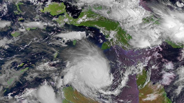
A recent WMO #EarlyWarningsforAll gap analysis on satellite-based monitoring of weather hazards in Central and South America is packed with valuable findings — well worth a few minutes of your time.
📄 Find the report: https://sdr.ucr.ac.cr/teleconferences
Wearing our capacity building 👓, some findings stand out:
- Flood monitoring: 93% of users reported only moderate or limited success with satellite-based monitoring data
- Drought monitoring: 78% reported moderate or limited success
- Across hazards, a large majority of the 68 respondents identified a need for “advanced” capacity development
❓Would we see similar results in other regions?
About the analysis
- Conducted by the WMO Coordination Group on Satellite Data Requirements (Regions III & IV — Central & South America)
- Asks about priority hazards, available satellite products, use of those satellite products, and barriers to use
- 61 responses from 29 countries
- Primarily National Meteorological and Hydrological Services (NMHS), plus government agencies, researchers, and private sector participants
- Covers multiple weather hazards
These results raise an important question for all of us working in Earth observation capacity development:
👉 How do we collectively help close these gaps?
The WMO team is now developing a regional implementation plan. If you have a few minutes, take a look at the findings — and share your thoughts on how our community can better collaborate and coordinate. Send us an email at secretariat@eotecdev.net.
Image: EUMETSAT