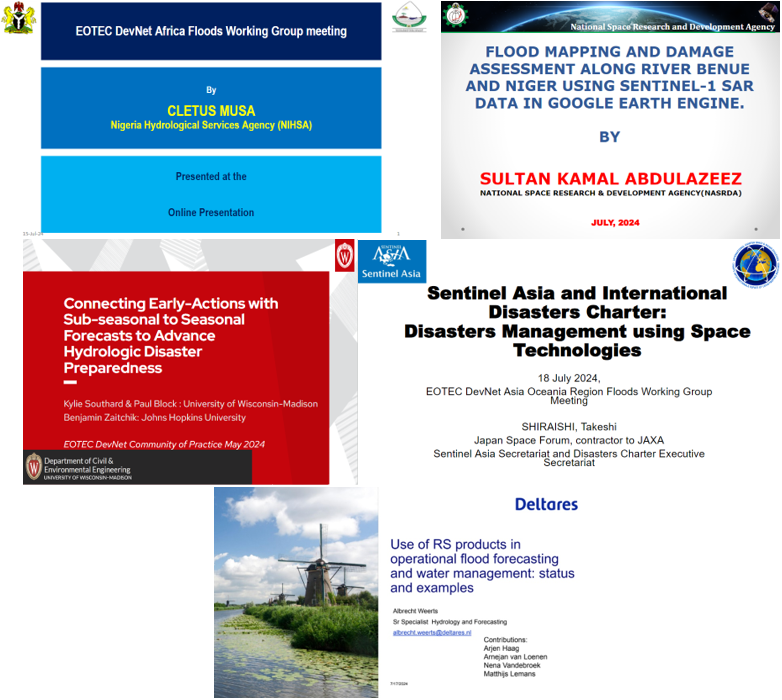
Catch Up on SAR and NISAR for Flood Monitoring
Interested in learning about synthetic aperture radar (SAR) and the NASA-ISRO Synthetic Aperture Radar (NISAR) mission? Check out this wealth of information, shared by NISAR experts at EOTEC DevNet’s January 21/22 regional flood working group meet-ups.
Across the four regional exchanges, presentations centered on:
- NISAR capabilities for flood inundation mapping
- Insights on the evolution of SAR and potential for future use
- Three regionally-specific demonstrations using Sentinel-1 radar images for flood mapping on Google Earth Engine (GEE)
- ISRO’s uses of SAR and optical imagery for maps and support to early warning systems, damage assessment, and capacity building during the flood season
- Ongoing work on an intercomparison of global products across five different flooding events
Presenters included:
- Erika Podest, NASA Jet Propulsion Laboratory, NISAR Science Team
- Cathleen Jones, NASA Jet Propulsion Laboratory, NISAR Applications Lead
- CM Bhatt, Indian Space Research Organisation
- Maynard Micky Maganini, NASA EarthRISE, University of Alabama Huntsville
- Guy Schumann, CEO of RSS-Hydro SARL
Each of their presentations is linked below and available on EOTEC’s YouTube channel.
Africa region:
- Recording | NISAR presentation and regional demo | Global Flood Products Intercomparison presentation | Slides
Americas region:
- Recording | NISAR presentation and regional demo | Global Flood Products Intercomparison presentation | Slides
Asia-Oceania region:
- Recording | NISAR presentation and regional demo | IIRS ISRO presentation | Slides
Europe region:
- Recording | NISAR presentation | SAR Workflow and Lessons Learned presentation | Slides
Other useful resources shared at the meeting:
- NISAR User Handbook
- Code used for the GEE demonstrations
- Africa (Mozambique)
- Americas (Mexico)
- Asia-Oceania (Kerala)
- Online introduction to SAR courses
- NISAR Github resources
- NASA NISAR community of practice
- NASA WorldView, allows a user to view DSWx-S1 and other optical-derived flood products
- Global Flood Monitor Website, allows a user to create an area of interest and query the GFM data
- Paper on a fully automated Sentinel-1 Global Flood Monitoring service, highlighting key scientific challenges in SAR data processing and outlining future directions.
- Flood Intercomparison Github, provides access to five flood products that are available globally
Huge thanks to all presenters, Working Group leads, and participants! Your expertise and collaboration are vital to improving flood resilience through Earth observation.
Don’t miss out on these great regional exchanges. Save the date for the next regional flood working group meetings July 7/ 8. REGISTER HERE.