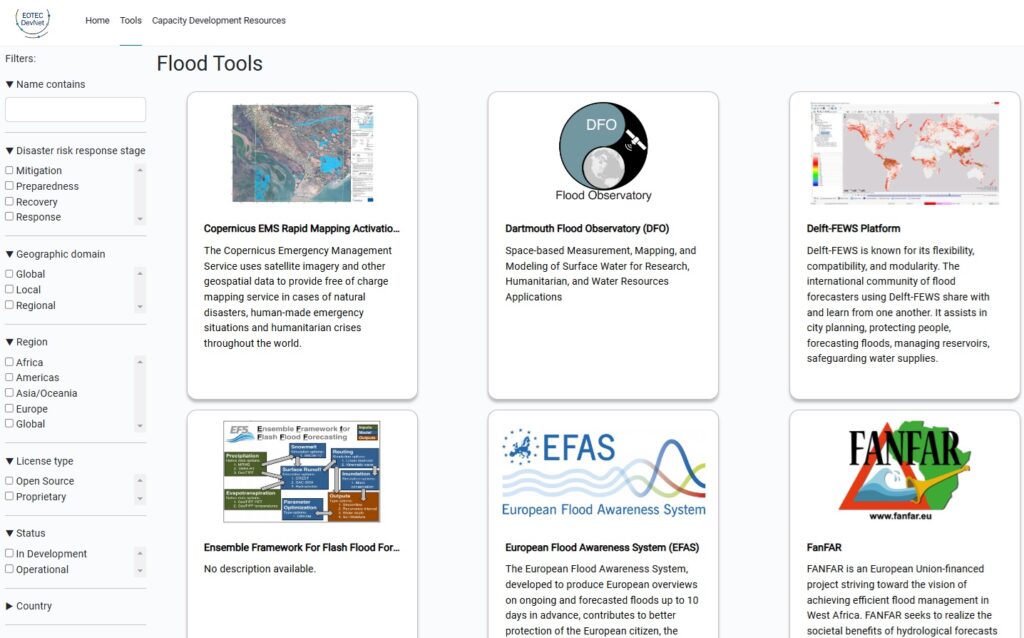
Flood Tools Tracker

Visit EOTEC-DEV.ceos.org to access the tracker
What is the purpose of this Tracker?
A broad range of Earth Observation tools and models exist to help with global flood forecasting, monitoring and impact assessment, each with unique inputs and capabilities. This variety can make it challenging for potential users (i.e.humanitarian and government agencies) to choose the optimal tool to prepare for, mitigate, and manage responses to specific flood events without a clear way to discern between tools or understand the options available. Once they identify the right tools, they often need training and capacity building support to be able to use those tools most effectively, which can be another barrier to use.
To address this challenge, EOTEC DevNet has launched a tracker to help users find the right flood tools and associated capacity building resources best suited for their needs. The tracker enables filtering flood tools based on the disaster risk response stage (forecasting, response, risk assessment), tool category (flood depth mapping, flood extent mapping, flood modeling), geographic domain (global, regional, local) and their operational status (operational or in development). The tracker’s searchable database currently contains dozens of tools and capacity building resources and will be further expanded and refined in collaboration with regional experts.
