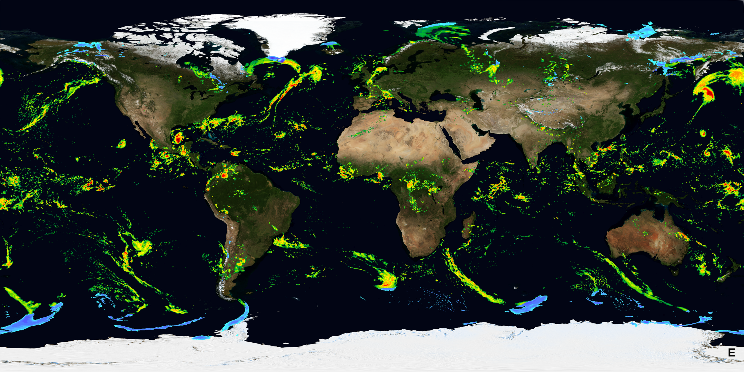
This visualization, generated on October 7 at 9:30 a.m. U.S. Eastern time, shows the latest available global precipitation data from NASA’s Integrated Multi-satellite Retrievals for GPM (IMERG).
Drawing on observations from an international constellation of satellites, IMERG provides estimates of rain and snowfall around the world every 30 minutes, revealing how precipitation systems move across the planet.
IMERG is a derived from NASA’s Global Precipitation Measurement (GPM) mission. As scientists work to understand and track change across Earth’s climate and weather systems, GPM provides comprehensive and consistent measurements of precipitation for scientists and a wide variety of user communities.
Find a daily IMERG image and animation of weekly IMERGE data here.
Credit: NASA’s Scientific Visualization Studio